
Real-Time Satellite + AI Boosts Business Efficiency
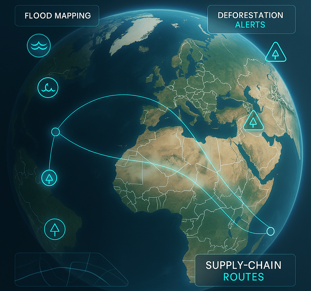
Companies leverage real-time satellite data and AI for flood mapping, deforestation tracking, and enhanced communication, driving faster disaster response and operational efficiency while supporting sustainability and supply chain transparency.
TECH INFRASTRUCTUREARTIFICIAL INTELLIGENCEAUTOMATIONTECHNOLOGY
Eric Sanders
11/6/20254 min read
How Real-Time Satellite Data + AI Is Reshaping Business and Disaster Response
In a world where seconds can mean the difference between opportunity and catastrophe, companies that harness real-time satellite data are staking their claim at the frontier of competitive advantage. This isn’t some sci-fi promise for the distant future—it’s happening now, right before our eyes, transforming how we respond to floods, track deforestation, and ensure supply chain transparency. The convergence of satellite technology and artificial intelligence (AI) is not just enhancing operational efficiency; it’s forcing a fundamental shift in how businesses operate and how society confronts environmental challenges.
Real-Time Satellite Data + AI Is a Game Changer
Already, satellite imagery has been a critical asset in environmental monitoring and disaster management. But traditional satellite data often came with delays, static snapshots that told yesterday’s story when what we need is the pulse of now. The integration of AI with the latest satellite constellations, however, delivers an unprecedented capability: continuous, updated insights on events as they unfold globally.
Companies are no longer scratching the surface; they’re diving deep into high-frequency, real-time data streams to make better, faster decisions. Whether it’s identifying a wildfire hotspot before it flares out of control or mapping flood-affected areas immediately after heavy rains, this technology empowers stakeholders to act proactively instead of reactively.
Consider a logistics manager I spoke to recently who oversees a sprawling supply chain spanning multiple continents. Prior to leveraging real-time satellite insights, the manager’s team relied heavily on ground reports and delayed weather forecasts which left them vulnerable to unforeseen disruptions. One severe flood event shut down several key transit routes, derailing shipments and inflating costs.
With access to up-to-the-minute satellite flood maps enhanced by AI algorithms, this manager can now reroute shipments days ahead of impending disruptions. The difference? Fewer delays, reduced costs, and the ability to maintain customer trust even in turbulent times. This isn’t hyperbole—it’s the reality companies face when they integrate these cutting-edge tools.
Similarly, conservationists battling the relentless pace of deforestation find themselves wielding a sharper weapon. In the past, discovering illegal logging took months, leaving devastated ecosystems to spiral. Thanks to near-real-time satellite monitoring, activists alert authorities within hours of suspicious activity, significantly improving enforcement effectiveness.
Why AI Makes Real-Time Data Actionable
Satellite data on its own is immense and overwhelming. Raw images from space can be difficult and time-consuming to analyze manually, and by the time critical insights emerge, the situation may have evolved dramatically. This is where AI plays a transformative role.
Machine learning algorithms analyze streams of satellite imagery to detect patterns and anomalies automatically. These systems can distinguish flooded areas from normal water bodies, identify changes in tree cover indicative of deforestation, or even monitor construction progress on infrastructure projects.
The scalability and speed AI provides turn a torrent of raw data into coherent, actionable intelligence:
- Flood Mapping: AI can delineate flood boundaries in real time to guide emergency responders and inform insurance assessments.
- Deforestation Tracking: Algorithms quantify changes in foliage cover and flag potentially illegal clearing activities.
- Supply Chain Risk Management: Satellite imagery integrated with AI forecasts infrastructure disruptions and environmental risks that impact logistics.
The immediate takeaway is clear: Artificial intelligence unlocks the true potential of satellite data by transforming it from passive observation into proactive insight.
Sustainability and Supply Chain Transparency: Beyond Operational Efficiency
One of the most exciting dimensions of this technology isn’t just efficiency—it’s accountability. Stakeholders today, from consumers to investors, demand transparency and sustainability. Real-time satellite data powered by AI offers an empirical lens to verify claims around environmental impact and compliance.
Businesses can track forestry-certified suppliers in near real-time, ensuring that materials meet sustainability standards. Retailers can authenticate the origin of products and monitor adherence to ethical labor practices. Investors gain a reliable tool to assess climate risks embedded in portfolios, making better-informed decisions.
The upshot? Companies don’t just operate smarter—they operate more responsibly.
Lessons for Businesses Ready to Lead
To turn real-time satellite data into a competitive advantage requires more than just adopting new technology—it demands strategic vision and cultural change:
- Invest in Integration: Embedding satellite data and AI insights into existing workflows and decision-making processes is crucial. Data silos must be demolished.
- Prioritize Use Cases: Not every business will need every function. Identify the highest-impact applications, whether disaster response, supply chain resilience, or sustainability tracking.
- Build Partnerships: Collaborate with satellite data providers, AI startups, and domain experts to continuously refine capabilities.
- Train Teams: Equip employees with the skills to interpret and act on data-driven insights.
- Maintain Ethical Use: Ensure transparency about data usage and respect privacy and regulatory constraints.
As one industry leader put it, “The ability to see the world in real time—and then act on what you see—is no longer a luxury. It’s a necessity.”
What Lies Beyond?
The trajectory is unmistakable. As satellites become more sophisticated and AI more powerful, the granularity and immediacy of data will only improve. Imagine not merely responding to disasters but predicting and preventing them with precision. Picture global supply chains so transparent and resilient that environmental harms and bottlenecks are anticipated and eliminated before they emerge.
This is the promise of real-time satellite data fused with AI—and the companies embracing it today will be the winners of tomorrow.
So, as you think about your organization or community, ask yourself: How prepared are you to harness this avalanche of insights from above? How will you use the power of real-time data not just to survive disruption, but to drive meaningful change in an uncertain world?
Efficiency
Transform your workflows and reclaim your time.
Contact Us
Need A Custom Solutions? Lets connect!
eric.sanders@thedigiadvantagepro.com
772-228-1085
© 2025. All rights reserved.